As I'd mentioned previously, we arrived
in Inuvik in the afternoon, with a chance to orient ourselves a bit
to the town and set up camp in the Happy Valley Campground, which is
right in town. The drive up the Dempster caked the car with a lot of
dust, mud, and who-knows-what. So before attaching our tent to the
car, I was able to give it a wash in the local car-wash. No soap,
just a high pressure wand, and about 30 seconds of water per looney –
so suffice it to say it was a quick rinse only. With our camp set up
we walked the town. There are a few “touristy” spots to see,
such as the Catholic Church which was built to resemble an igloo.
Also the Inukshuk on a main corner of town – this is the one that
was used as the Canadian emblem on stamps and also used for the
Olympics.
 |
| Inukshuk with Igloo Church in the Background |
Being built on permafrost, all of the
buildings lack a foundation, but are jacked onto support posts
instead, which can be adjusted. Throughout the town is a utilidor
system – dual insulated pipes serving sewer and water utilities to
the buildings.
 |
| Utilidor System serving sewer and water in Inuvik |
In our travels up to now, most of the
indigenous populations were various indian groups/nations. Inuvik is
largely Inuvialuit (Innu, formerly Eskimo). We decided to celebrate
our successful incident-free trip on the Dempster Highway by a
restaurant meal, and settled for Chinese food in a local diner. Then
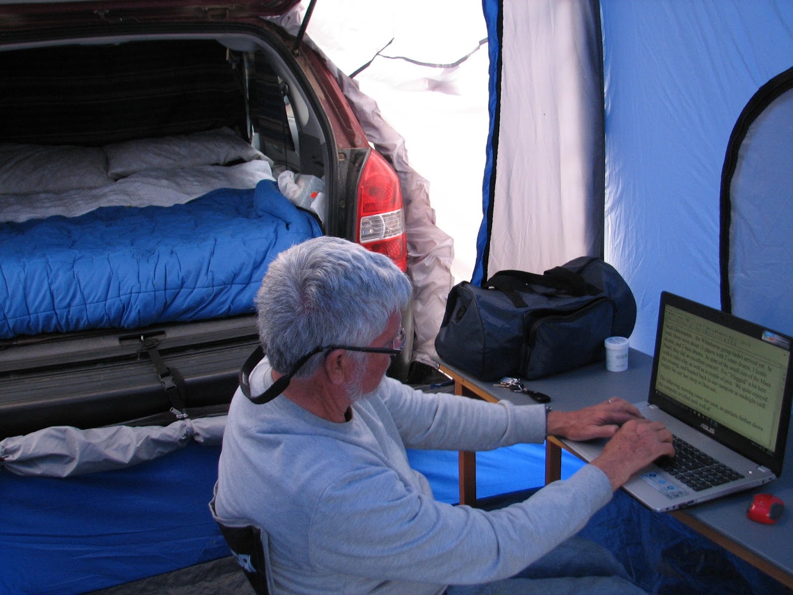
it was back to the camp to type up some Blog material and get out of
the rainshowers which showed up.
 |
| Blogging from the tent, in Inuvik |
The following morning (Monday) turned
out to be absolutely beautiful – a cloudless bright blue sky with
warm temperatures. Locals tell us it was the “Best day of the
Year” - something that happens that infrequently. It warmed up to
22 degrees Celsius, and the dreaded and anticipated hordes of bugs
never arrived. After a late breakfast, we took a walk to the East
Channel of the Mackenzie River, where I dipped my toe in the cold
muddy waters – in case this is as close to the Arctic Ocean as I
can get!
 |
| Dipping my toes in the East Channel, Mackenzie River, Inuvik |
We managed to get some wi-fi so checked
our e-stuff and sent out the previous two Blog posts. Tundra North
Tours is a company who specializes in Delta boat tours, boat trips
down the Mackenzie to Tuktoyuktuk, and aircraft tours. We got a bit
of a discount to put our names on a waiting list for an aircraft tour
to Tuk, and ended up getting it when a few others signed on to make a
party of 4. So at 5PM we were driven to the airport and boarded a
single-engine Cessna 207, flying north along the Mackenzie and over
the Delta, circling the old settlement of Reindeer Station (the site
of a great herding migration of reindeer by the locals to save the
herds), an old DEW line station from the days of the cold war, and
finally Tuktoyuktuk itself, lying on the Beaufort Sea on the Arctic
Ocean.
 |
| Inuvik from the Air |
 |
| Mackenzie R. Delta...the curved river is the East Channel, the main Channel wider and beyond |
 |
| Reindeer Station from above |
Our local guide, John, drove us around
the village, showing us a Pingo (hillock formed by the permafrost)
and unique to this type of Tundra terrain.
 |
| 2nd Largest Pingo in the World (Largest is in Russia) viewed from the air |
 |
| Same Pingo....from sea level |
We visited a beach on the ocean, where
I was able to wade in the water (more than just a toe) and taste it
(almost no salt in this water due to huge amounts of Mackenzie River
freshwater mixed in).
 |
| Wading in, and tasting, the Arctic Ocean from Tuk |
 |
| Children in Tuk like to play in the Arctic Ocean |
The locals are just starting to set up
their hunting/smoking camps for the beluga whales and fish which will
soon return to the area – these provide food for these people who
still live in a mixed traditional and modern way.
 |
| Setting up Camp for Hunting Belugas and fishing, smoking meat |
 |
| A view of the New Highway to Tuk (finished in 2 years?) |
On the flight back, we flew direct to
Inuvik, passing over the new highway being built to Tuk. Looking at
the number of lakes and water obstacles, and being built on
permafrost, I was amazed at the engineering skills that must have
been utilized to build it.
 |
| Many of the lakes we passed over were still iced in |
By 10 PM we were back in town, and
tired and hungry, we stopped for a quick pizza and hit the sack.
During the night, the temperature dropped to near freezing, and the
wind piped up to gale force. We got very little sleep with the
rattling tent, so at 6AM it was time to pack it up. The forecast was
for a cold, wet day with snow flurries for the next morning. We'd
had our best day of the year, and now it was time to head south. The
drive back on the Dempster was this time through numerous
rainshowers, although we apparently missed most of the heavy rain.
We caught the two ferries right away, and felt our way through the
mountains, White Pass, and past the Arctic Circle marker, in 100 foot
visibility in fog. At the halfway mark on the highway, we pulled
into the Eagle Plains Hotel, too tired to go on, and too cold to set
up camp. So here I am in a nice warm room, but without wi-fi again
(this seems to be a common problem up here). When we get in range,
you will get this posting, with whatever updates we can prepare.
It rained all night, and by morning was close to freezing.....so I guess the forecast was right! After a quick breakfast (coffee and muffins) we set out early to finish doing the Dempster. With the rain of the previous night and day, the road was muddy and slick. Not as much low cloud and fog as earlier, but quite slippery. We have no major wildlife to report, but by the time we reached the end of the highway we'd passed 5 RV's and several trucks who had flat tires....a few of them were on their second flat! We were lucky, and only had a ton of mud, some of which we scraped off with a stick. We were now at the halfway mark of our trip, timewise, and had logged 2 km. short of 6,000 kilometres so far. Depending on what side trips we do on the way back, it may not be quite as many for the return. At the end of the Dempster, we were 30 km. east of Dawson City, but instead of turning west to return there, we turned east and south, toward Whitehorse, the Capital city of the Yukon, and the largest city also. I'm filing this blog from there, but I haven't yet written up our trip to get here, with the side-adventures. Hopefully I can get back to the Information Centre again tomorrow to update everyone on that, and get up-to-date. We've just learned that the storms we got to the north threw lots of water at Dawson Creek and Fort St. John area, with the return highway 97 closed due flooding and washouts. We will be another week before we get that way, so things may change.....either the highway will open, or we'll find a different route.
Until later.......DJ


congrats on making the Arctic ocean. That's an accomplishment few make. Glad you made it on the "best day".
ReplyDeleteYes...it was definitely something special, and for crossing off the "list"! BTW....we noticed Misty looks a lot like an arctic fox in its winter coat. We wanted to go up and pet it.
ReplyDelete